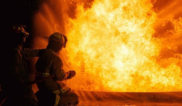
Due to climate change, wildfires will increase in violence and occurrence every year. As energy will continue to be stored in the atmosphere, extreme weather phenomenon like droughts and heatwaves will be more frequent, at the same time the increasing temperature will decrease the moisture in biomass.
As such, the high-risk days of wildfire, in North America alone, will increase from 37 in 2009 to 59 in 2050. Two months, where North America is burning. Emergency response personnel, across the globe, are struggling to contain the increase in forest fire size, numbers, and severity.
Manually controlled drones
They rely heavily on data on the location, size, and the direction, in their operations to combat the wildfires. The current methods for monitorization of wildfires include the use of small helicopters or manually controlled drones, and manually processing the data.
Additionally, it is time consuming and produces inaccurate data leaving incident commanders, in charge of containing the wildfires, in a difficult situation. They are implementing robotic technologies, such as computer vision, artificial intelligence and Internet of Things into the autonomous drone system, to create AWRA, Autonomous Wildfire Recognition and Analytics drone. With it they will provide the firefighters with a tool for a faster and more accurate presentation of the emergency.
Direction of the wildfire
They will provide data with respect to the location, size and direction of the wildfire
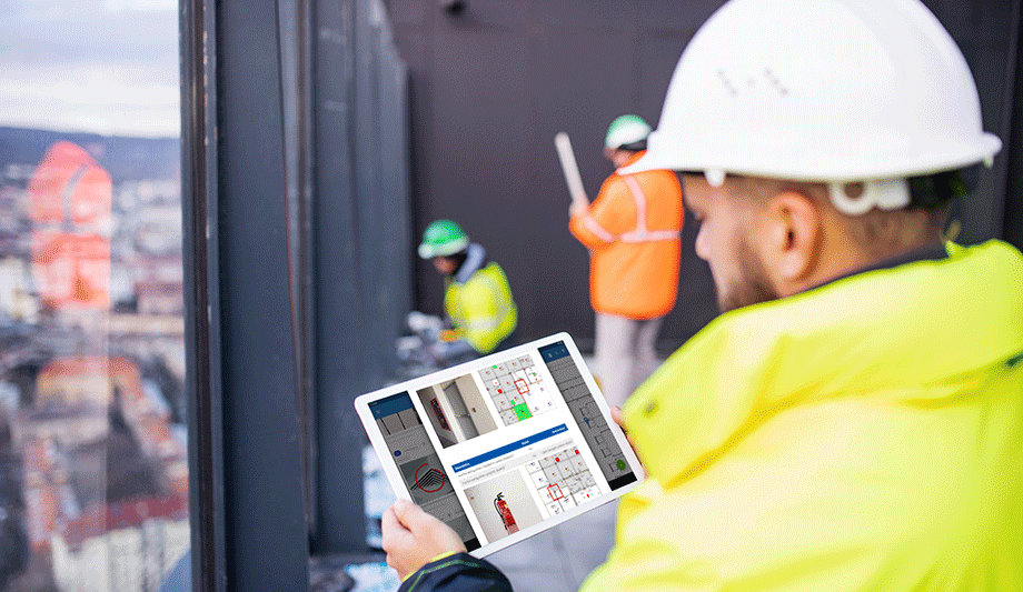
They will provide data with respect to the location, size and direction of the wildfire directly to the incident commander’s hand, in real time. By providing the user with a handheld tablet showing a topological map of the area where they are located, they can determine their region of interest, where the drone will initialize a search for fire.
The drone will fly autonomously to this area and if a fire is detected, gather data in order to plot it back on the map. At the same time, this can be streamed to any expert around the world making the resource allocation for incident commanders faster and more efficient.
Placing drone hubs
Having a fixed wing drone together with 5G technology, they can apply the technology into many different use-cases. Their core strength is computer vision and artificial intelligence, and as such they train their platform to tackle what is required. All from finding people lost at sea or keep track of oil spills from ships, to monitoring the growth of forests and powerline inspection.
By strategically placing drone hubs they can collaborate many different organizations and have the drones will fly out to whoever needs them to solve a specific task and fly back again when the job is done. The companies will have a subscription to their services, and can call on them whenever they need.