
DroneDeploy, a drone software company with the largest drone data platform in the world, announced the launch of Thermal Live Map, a real-time mobile mapping solution which delivers insights only thermal imagery can reveal. A first-of-its-kind feature, Thermal Live Map visualizes temperature range variability and creates instant thermal maps for quick, data-guided decisions on the job site.
Traditionally thermal inspections have been time-consuming, limited to accessible areas, or required manned aircraft that typically yield low-resolution data at a high price. DroneDeploy’s Thermal Live Map solves these issues by providing immediate visual context to situations unseen by the naked eye — all without a computer, SD card, or internet connection. The new solution uses the latest advancements in edge computing to generate thermal drone maps locally on iOS devices as a DJI drone flies.
“Thermal mapping is one of the most common and difficult requests from our customers to date, but the reward equals the challenge,” said Mike Winn, CEO of DroneDeploy. “Live Map makes thermal insights more accessible while increasing safety and efficiency on job sites.”
| Thermal Live Map pinpoints problem areas—such as cracks, leaks, and structural damage— within minutes and minimizes safety risks |
Inspecting solar farms
Solar panels often overheat, go offline, or require maintenance due to excess dust, scratches or mechanical deficiencies. It’s time-consuming and unreliable to inspect them from the ground. With Thermal Live Map solar farms can be inspected from the sky in minutes—not days—allowing operators to isolate and measure potential problem areas while the drone is in flight.
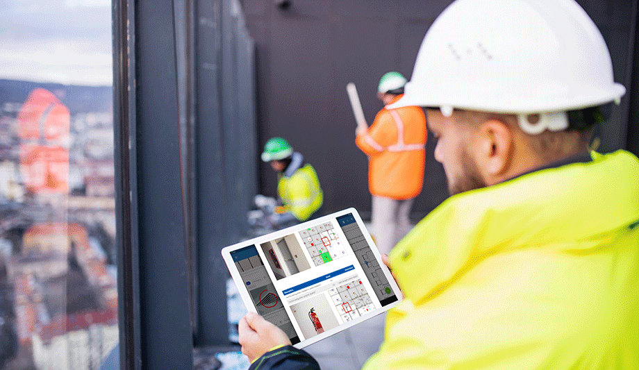
Before drones, building and roof inspections were extremely dangerous, time-consuming, and took a physical toll on workers. Thermal Live Map pinpoints problem areas—such as cracks, leaks, and structural damage— within minutes and minimizes safety risks. Companies can retro and proactively address existing and potential risks, preventing disasters on site and saving lives.
“Rather than searching for a needle in a haystack, you have a map to tell you right where to look,” said Grant Hagen, Virtual Design and Construction Manager at The Beck Group. “The work input to value output with drone-based thermal imagery is game-changing. It’s unlike anything else in construction technology right now.”
Incident response and public safety
Thermal Live Map allows first responders to view hundreds of acres in minutes—day or night—penetrating hard-to-reach and hard-to-see terrain where missing or injured persons may be awaiting rescue.
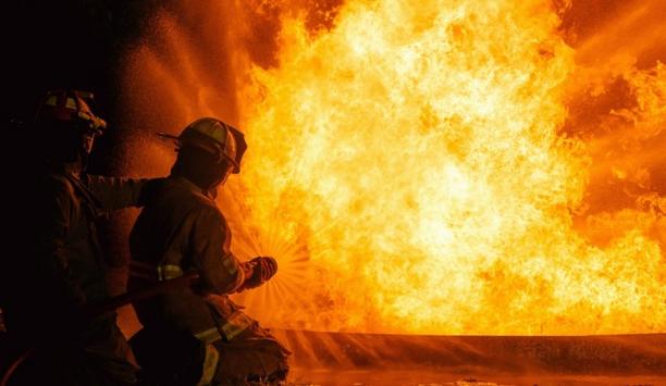
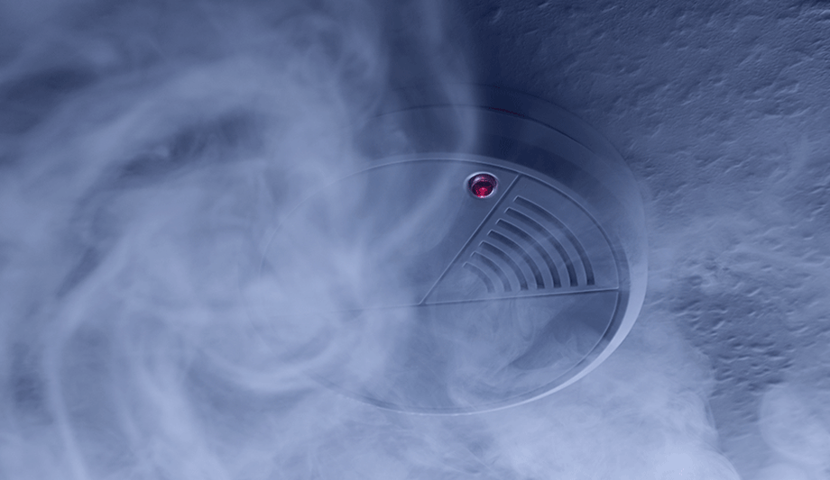
The new solution is particularly valuable for firefighting, giving firefighters the ability to see through smoke and keep track of their personnel in large fire scenes. Thermal Live Map also helps locate precisely where the fire is hottest and provides definitive confirmation the fire is extinguished in specific areas.
Thermal Live Map helps growers spot field stress in real time. They identify irrigation issues, detect ripeness, and analyse plant health early to solve problem areas and avoid lost harvests.