OroraTech GmbH - Experts & Thought Leaders




Latest OroraTech GmbH news & announcements

Colombia has become the first country in Latin America to strengthen its National Disaster Risk Management System through the implementation of a national wildfire detection program using satellite technology. This initiative results from a new partnership between the National Unit for Disaster Risk Management (UNGRD) and OroraTech, a pioneer in wildfire intelligence, via its local representative, GeoSpatial. OroraTech’s WFS platform The agreement marks the start of a national pilot program that uses OroraTech’s Wildfire Solution (WFS) platform, which combines thermal satellite imagery and AI-driven analytics to detect and monitor wildfires nearly in real time. By offering continuous surveillance of wildfire activity across Colombia, the program aims to protect critical ecosystems, improve emergency response times, and reduce risk for communities threatened by fire. Modern wildfire detection “With this partnership, Colombia strengthens its risk knowledge capabilities through investment in a modern wildfire detection and monitoring infrastructure that will help protect our population, environment, and biodiversity,” said Ana Milena Prada, Deputy Director for Risk Knowledge at UNGRD. She adds, “This system enhances the work of institutions by enabling early threat identification and more timely response, even in the most remote areas of the country.” Centralized national platform Colombia is the second most biodiverse country in the world, with nearly half its land area located in the Amazon rainforest. Early wildfire detection is vital for preserving endangered species, native forests, and the country’s natural heritage. WFS will serve as a centralized national platform, delivering actionable alerts to emergency services, park rangers, and government agencies. Colombia’s wildfire conditions More than 700 members of the National Disaster Risk Management System, including personnel from territorial and local entities, have been trained to use the platform. In May 2025, OroraTech’s Customer Success team conducted in-person training sessions in Bogotá, featuring real-time case studies and workflows tailored to Colombia’s wildfire conditions. In addition, UNGRD has led over 15 virtual and in-person training sessions across the country to build local capacity in using and operating the WFS platform. Wildfire management for Latin America “We are protecting the Amazon rainforest for the future in ways that weren’t possible before deploying our technology,” said Martin Langer, CEO and CTO of OroraTech. He adds, “We are supporting and partnering with UNGRD to roll out our capabilities nationwide, marking a milestone in wildfire management for Latin America.” Integrates thermal data The WFS platform integrates thermal data from over 30 public and private satellites. It delivers low-latency alerts and maps fires as they emerge, offering a real-time common operating picture of wildfire activity. This improved coordination allows emergency teams to prioritize threats, minimize false alarms, and respond more effectively across regions. Through this program, Colombia reinforces its wildfire monitoring and defense strategy while advancing its leadership in environmental protection. By leveraging space-based intelligence, the country is setting a new standard in Latin America for biodiversity preservation and disaster response.

The Larimer County Sheriff’s Office has partnered with OroraTech USA, the global pioneer in space-based wildfire intelligence, marking a significant step in enhancing wildfire preparedness and emergency response across one of Colorado’s most fire-prone counties. Under a 2025 pilot program, the Larimer County Sheriff’s Office Emergency Services Division has integrated OroraTech’s Wildfire Solution platform into its operational workflow. The service delivers near-instant wildfire alerts, AI-powered fire spread modeling, and critical insights tailored to Larimer’s mountainous terrain and diverse population zones. OroraTech’s Satellite Wildfire Detection Platform The platform supports early identification of wildfire outbreaks, faster situational assessments The platform supports early identification of wildfire outbreaks, faster situational assessments, and the ability to predict fire spread during the first 24 hours of an incident. “Larimer County continues to face rising wildfire frequency and severity. OroraTech provides us with a new layer of intelligence to act faster and smarter,” said Justin Whitesell, Chief of Emergency Services for the Larimer County Sheriff’s Office. Larimer County adopts OroraTech’s Platform Justin Whitesell adds, “Their platform helps us to verify ignition points, model fire spread, and make better decisions with our firefighting resources. It’s quickly becoming a vital addition to our toolkit.” Larimer County is consistently ranked among the most wildfire-prone regions in Colorado, with more than 15% of its land area burned in recent decades. Between 1984 and 2021, the county experienced at least 16 major wildfires, including the 208,000-acre Cameron Peak Fire in 2020 - the largest in Colorado history - and the 87,000-acre High Park Fire in 2012. High frequency of wildfires in Larimer County The county's mix of rugged terrain, dense forests makes it one of the hardest-hit jurisdictions The county's mix of rugged terrain, dense forests, and expanding population centers makes it one of the hardest-hit and highest-risk jurisdictions in the state. “Wildfires are the most frequent natural hazard in Larimer County, and our goal is to ensure agencies have the best possible intelligence at their fingertips,” said Thomas Grübler, CEO of OroraTech USA. He adds, “We are proud to support Chief Whitesell, Sheriff John Feyen, and the LCSO team in safeguarding lives, infrastructure, and ecosystems.” Satellite imagery with AI-enhanced fire spread modeling OroraTech’s Wildfire Solution combines satellite imagery with AI-enhanced fire spread modeling, offering emergency teams the ability to detect new ignitions, track fire movement, and prioritize response in minutes, not hours. The system delivers actionable data even in rugged terrain and low-visibility conditions, ensuring situational awareness when it matters most. As wildfire risk intensifies across the American West, Larimer County’s early adoption of satellite-based wildfire intelligence underscores the critical role that advanced space technology plays in local emergency management.

The Idaho Department of Lands has partnered with OroraTech USA to become the first in the nation to deploy a statewide satellite-based wildfire detection and monitoring system, giving dispatch centers and firefighters a powerful new tool to protect Idaho’s landscapes, communities, and economy. This initiative will integrate OroraTech’s Wildfire Solution platform, which uses public and proprietary satellites equipped with advanced thermal imaging to detect heat anomalies and emerging fires in near real time. By providing fire location, intensity, and predicted spread within minutes, the system enables faster, more informed decisions during critical wildfire situations. Advanced wildfire intelligence “By partnering with the Idaho Department of Lands, we’re ensuring that firefighters across the state have access to the most advanced wildfire intelligence available,” said Thomas Gruebler, CEO of OroraTech USA. He adds, “With the ability to detect wildfire ignitions that are the size of a small automobile, we are giving Idaho’s first responders every possible advantage in protecting lives, property, and the land that defines this great state.” Reduce risk and safeguard natural resources Idaho has a proud history of proactive forest regime and wildfire preparedness, with state agencies, landowners Idaho has a proud history of proactive forest management and wildfire preparedness, with state agencies, landowners, and communities working together to reduce risk and safeguard natural resources. This new partnership builds on that legacy, positioning Idaho as the first in the United States to implement wildfire satellite detection at a statewide scale. Anticipate fire growth and movement The Wildfire Solution platform draws on data from OroraTech’s public and proprietary wildfire satellites, as well as other public sources, creating unmatched situational awareness for firefighting agencies. The technology operates day and night, even through smoke and cloud cover, and integrates predictive modeling to anticipate fire growth and movement. Challenges for current wildfire detection Idaho’s rugged mountains, dense forests, and sweeping rangelands present unique challenges for wildfire detection Idaho’s rugged mountains, dense forests, and sweeping rangelands present unique challenges for current wildfire detection and suppression solutions. The partnership ensures that both remote wilderness areas and populated regions benefit from the same state-of-the-art monitoring, delivering vital intelligence to emergency responders when every second matters. Adoption of advanced wildfire detection tools The adoption of advanced wildfire detection tools is accelerating nationwide as states seek to improve emergency response and protect their communities from increasingly severe fire seasons. Idaho’s leadership is part of this growing movement to equip firefighters across America with the best technology available.
Insights & Opinions from thought leaders at OroraTech GmbH

To be a smart city, modern urban areas leverage technology to improve operations and services, in effect deploying a network of sensors and devices to collect data on city operations such as traffic flow, energy use, and waste management. Analyzing the data points enables cities to identify areas for improvement and additional solutions to enhance efficiency, sustainability, and quality of life. But what are the opportunities for the fire service in today’s smart cities? Smart cities enable the creation of a more dynamic and data-driven approach to fire response. Technology enables quicker fire detection, faster routing of first responders through traffic management, and proactive fire prevention strategies, among other advantages. Analyzing Risks and Planning Prevention The fire service plays a crucial role in keeping citizens safe in smart cities, and with the integration of technologies, their capabilities are expanding. For example, smart cities utilize sensor networks and Internet of Things (IoT) devices to constantly monitor buildings for temperature fluctuations or other signs of potential fire hazards. This allows fire departments to identify risks early and take preventative measures. Real-time traffic data can be used to optimize ways for fire trucks, ensuring they reach the set faster Smart technologies can improve response times by automatically alerting fire services the moment a fire breaks out. Additionally, real-time traffic data can be used to optimize routes for fire trucks, ensuring they reach the scene quicker. Firefighters in smart cities can benefit from wearable technology and sensor data to gain better awareness of the fire environment. This can include data on temperature, air quality, and even the location of fellow firefighters, all of which improve decision-making and firefighter safety. Addressing Obstacles of Traffic Congestion Traffic congestion is a major obstacle for emergency vehicles. Smart cities use sensors and data analytics to monitor traffic flow in real time. This data can be used to dynamically adjust traffic lights, prioritizing emergency vehicles, and clearing a path to the fire. Fire stations can be equipped with software that analyzes real-time traffic data and chooses the fastest route to the fire scene. This can take into account accidents, road closures, and even weather conditions to optimize the route for emergency vehicles. Lessons Learned from Historical Data Smart city data assigns fire units to analyze historical fire incidents and recall high-risk areas Smart city data empowers fire departments to analyze historical fire incidents and identify high-risk areas. This helps them deploy resources strategically and plan fire prevention efforts more effectively. Smart city data can be used to identify areas with a higher risk of fire based on factors like building age, occupancy, and historical fire incidents. This allows fire services to pre-position resources in high-risk areas or implement preventative measures in those locations, potentially leading to fewer fires overall and faster response times when they do occur. Predicting fires in a smart city is not about pinpointing the exact time and location. Rather, it is about using data and machine learning to identify areas with a high risk of fires. A key aspect of smart city fire prediction involves collecting data from various sources. This includes historical fire incident records, building codes and inspection reports, weather data, and even sensor data from cameras and Internet of Things (IoT) devices in buildings. Closer attention or preventative measures The collected data is fed into machine learning algorithms that can identify patterns and relationships between various factors that contribute to fire risk. Based on the analysis, algorithms can assign a fire risk score to different buildings or even city blocks. This allows fire services to create fire risk maps, highlighting areas that require closer attention or preventative measures. Based on the analysis, algorithms can assign a fire risk score to different buildings or even city blocks Knowing high-risk areas allows fire departments to take proactive steps. This could involve increased fire inspections in those areas, educating residents on fire safety, or even pre-positioning fire trucks or resources closer to high-risk zones during periods of high fire danger. In essence, fire services in smart cities are transforming from reactive forces to proactive guardians, leveraging technology to prevent fires, respond faster, and protect both citizens and firefighters. Smarter Systems for Earlier Detection Traditional smoke detectors are helpful in fire prevention and response, but smarter systems with Internet-of-things (IoT) sensors can detect fires earlier and with more precision. These sensors identify both smoke and factors like temperature and air quality changes, thus providing valuable details to firefighters. Additionally, these systems can automatically notify fire services the moment a fire breaks out, eliminating any delay in reporting. Here are some examples of the impact of technology on the fire service. Dryad Networks, a Berlin-based company, builds large-scale sensor networks using the Internet of Things (IoT) specifically designed for forests. Their sensors can be attached to trees and detect gases like carbon monoxide in the early stages of a fire, giving firefighters a crucial head start. Pano is a company that analyzes data from emergency calls to pinpoint the exact location of a fire Another company, OroraTech, leverages satellite technology to meticulously map large areas, identifying zones susceptible to wildfires. This information helps forest managers and firefighters focus their preventative efforts on high-risk zones. Providing a unique approach to fire detection, Pano is a company that analyzes data from emergency calls to pinpoint the exact location of a fire and sends firefighters a text message with a video feed. This helps distinguish real emergencies from false alarms and allows for a faster response. Rain, based in Alameda, Calif., is developing firefighting drones that can be automatically dispatched upon detecting a fire. These drones can reach remote areas quickly and potentially suppress the fire before it spreads, offering a faster response in hard-to-reach locations. Smart Cities: Technologies Continue to Advance It's important to remember that fire prediction is still a developing field, and new technology models are not perfect. However, by leveraging data and machine learning, smart cities can significantly improve their ability to identify areas with a higher likelihood of fires, allowing them to take preventative actions and ultimately improve public safety.
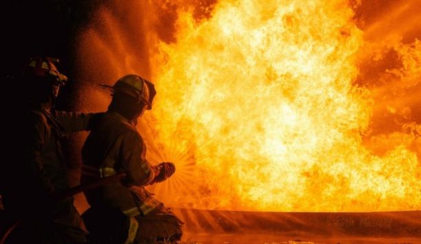
The New Future For Fire Agencies
Download
The Eight Key Trends in Fire Detection in 2023
Download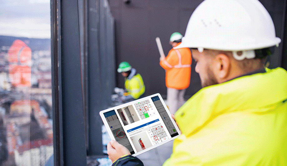
A Digital Platform to Improve Fire Safety Compliance and Inspections
Download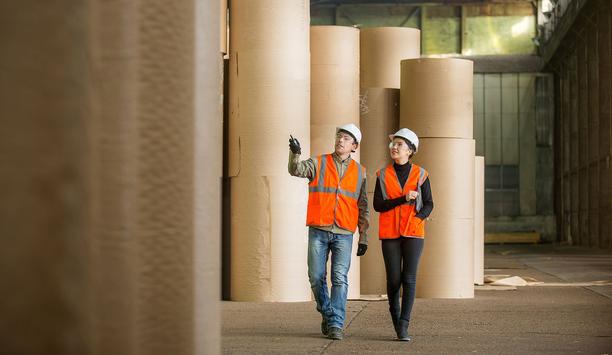
Overcoming the Challenges of Fire Safety in the Paper Industry
Download
Carbon Monoxide: Creeping Killer Caught In The Act
Download